The Square Lake Subarea Plan is a joint effort between Adams County and the City of Arvada. The Plan envisions development, redevelopment, and revitalization opportunities to ensure this gateway into Adams County and the City of Arvada is thoughtfully planned. The Plan builds on a foundation that evaluated opportunities and constraints, existing land use, and existing transportation infrastructure. Context-sensitive recommendations in the Plan envision vibrant future land use, build upon community character, enhance quality of life, improve transportation and mobility infrastructure, identify opportunities for economic development, and propose enhanced open space and trail connections. The adopted Square Lake Subarea Plan is now available for review.
Square Lake Information
For more information, contact Layla Bajelan, Long Range Planner for Adams County, at lbajelan@adcogov.org.
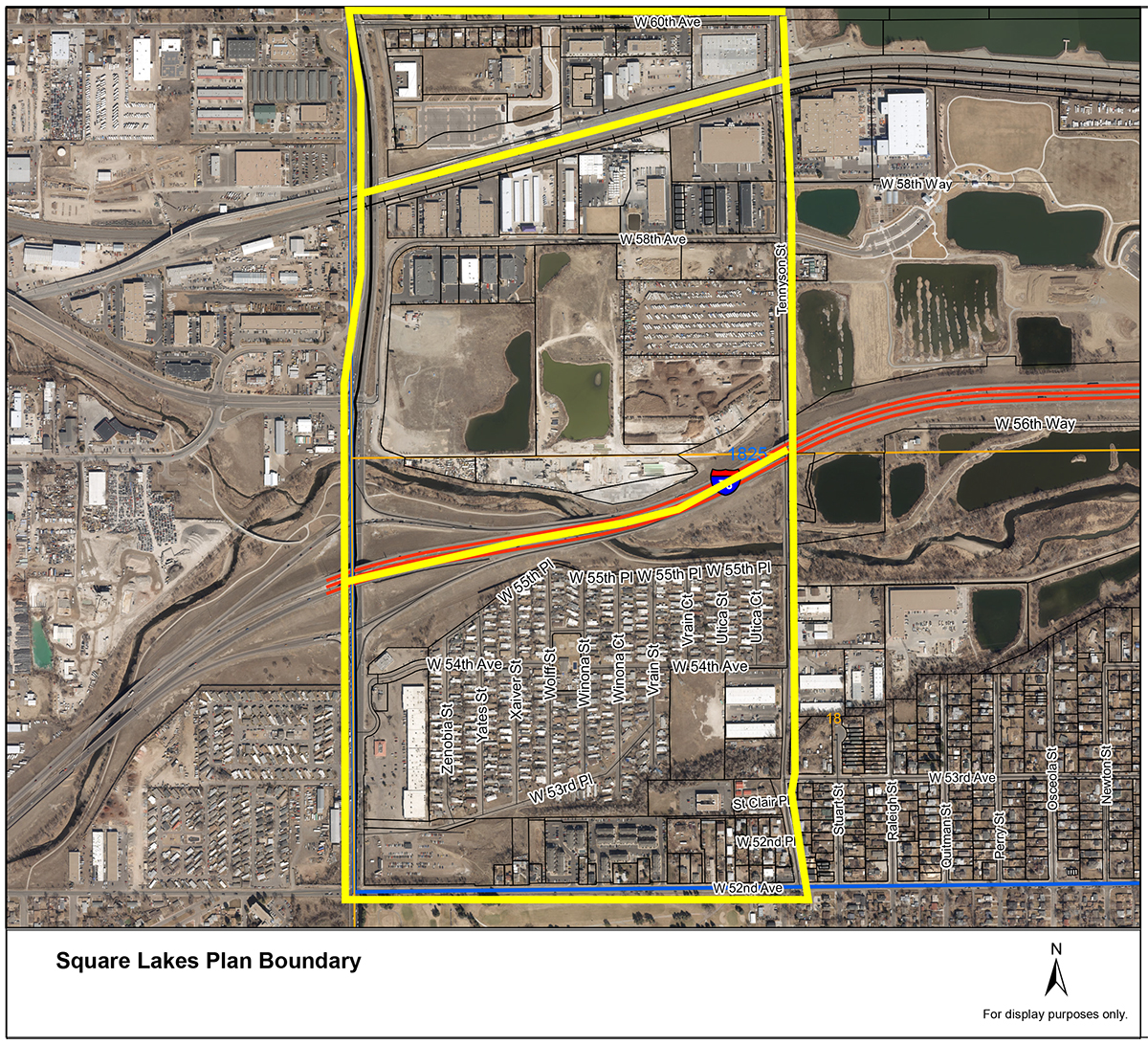
The Square Lake Subarea is comprised of three distinct geographic areas bounded on the north and south from W. 60th Ave. to W. 52nd Ave. and east and west from Tennyson St. to Sheridan Blvd. Download this map to view the boundaries of the Square Lake Subarea and each of the three sections described below.
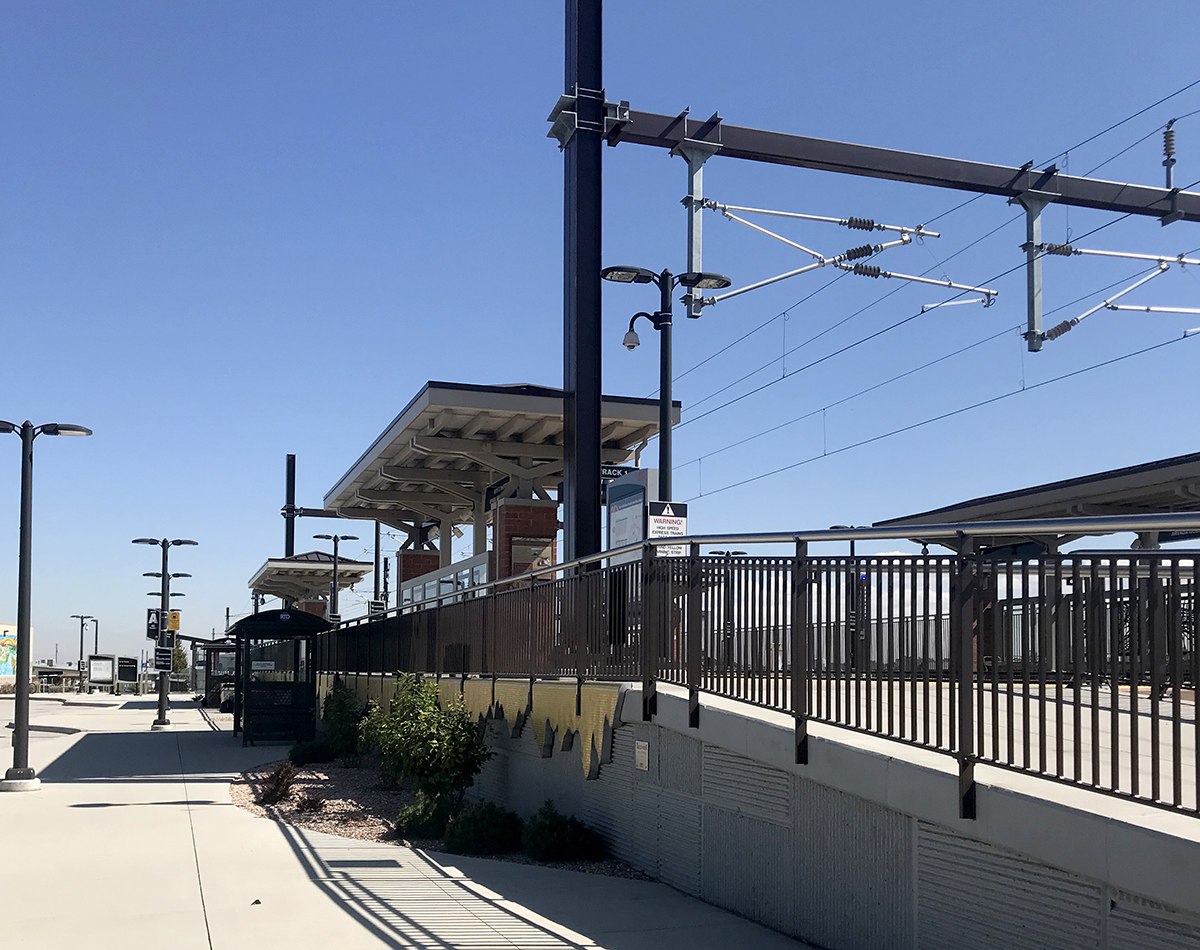 Square Lake G-Line Area
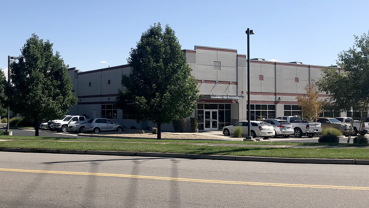
The northernmost portion of the Subarea is located within the City of Arvada, bordered to the south by the G-Line, Union Pacific, and BNSF railroads and to the north by E. 60th Ave. This area is currently comprised of the RTD G-Line and its 330-space parking lot, as well as single-family residential housing on the southern portion of W. 60th Ave. Light industrial and commercial buildings wrap around the outer perimeter of the G-Line and continue eastward to Tennyson St.
 Square Lake Central Area
The central portion of the Subarea, located within a portion of the City of Arvada and unincorporated Adams County, is bordered to the north by the various railroad lines and to the south by Interstate-76 (I-76). The parcels to the north of W. 58th Ave. and to the south of the railroad lines are located within the City of Arvada. Five parcels at the southeast corner of W. 58th Ave. and Sheridan Blvd. are also within the City of Arvada’s jurisdiction. The remainder of the parcels are located within unincorporated Adams County. All parcels within this greater area are currently comprised of light (indoor clean manufacturing) to heavier industrial uses (a chemical manufacturing business and concrete batch plant). Clear Creek is located within this area and is a waterway/open space corridor within unincorporated Adams County.
 Southern Square Lake Area
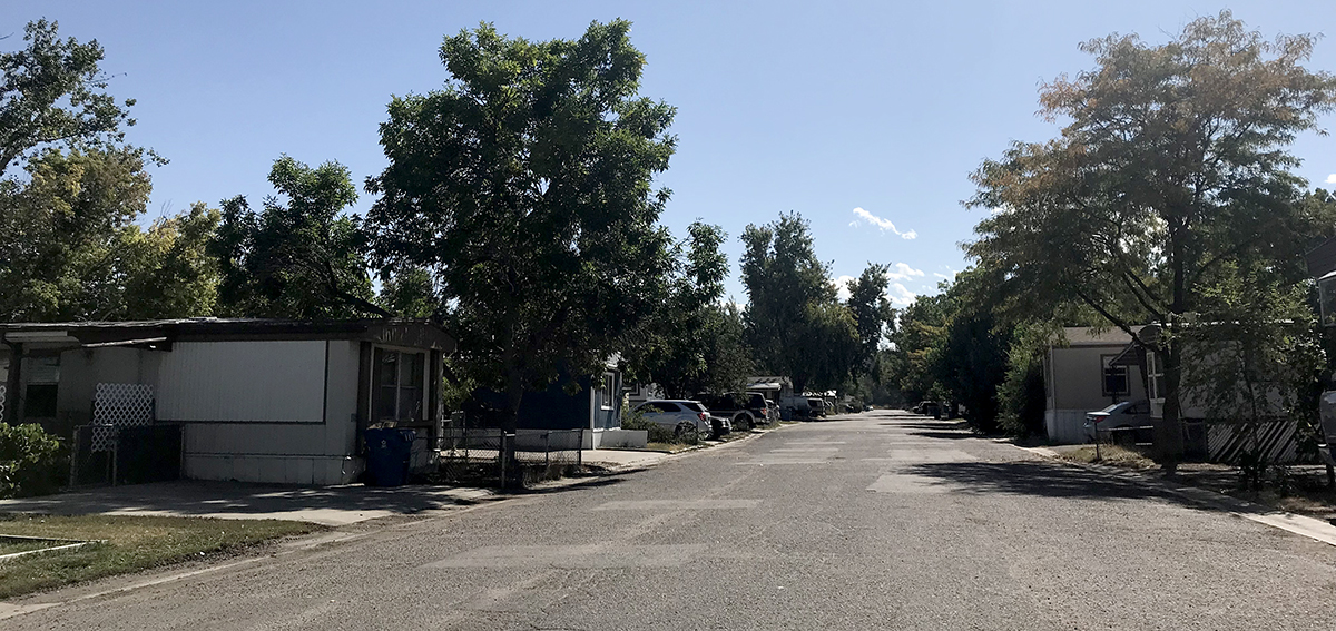
The southern portion of the Subarea is bordered to the north by I-76 and to the south by W. 52nd Ave. and is entirely located within unincorporated Adams County. Commercial uses are located along the Sheridan Ave. corridor while a variety of housing types and residential zone districts are located along W. 52nd Ave. and the western portion of Tennyson St. A mobile home park is located within the largest portion of this area and is bounded by W. 55th Pl. to the north and W. 53rd Pl. to the south.
Square Lake Boundary Map